
Addressing and Public Safety
A foundational task of a Geographic Information System (GIS) is to support spatial addressing by standardizing, geocoding, and mapping physical street addresses into precise coordinates. This capability acts as the underlying framework of reference for local municipalities, public safety agencies, and logistics, turning everyday locations into data-driven spatial insights.
By maintaining an authoritative repository of address points, GIS ensures seamless integration across essential government services.
For more information about addressing in Lake County, explore the Addressing Hub linked below!
Lake County Addressing Hub
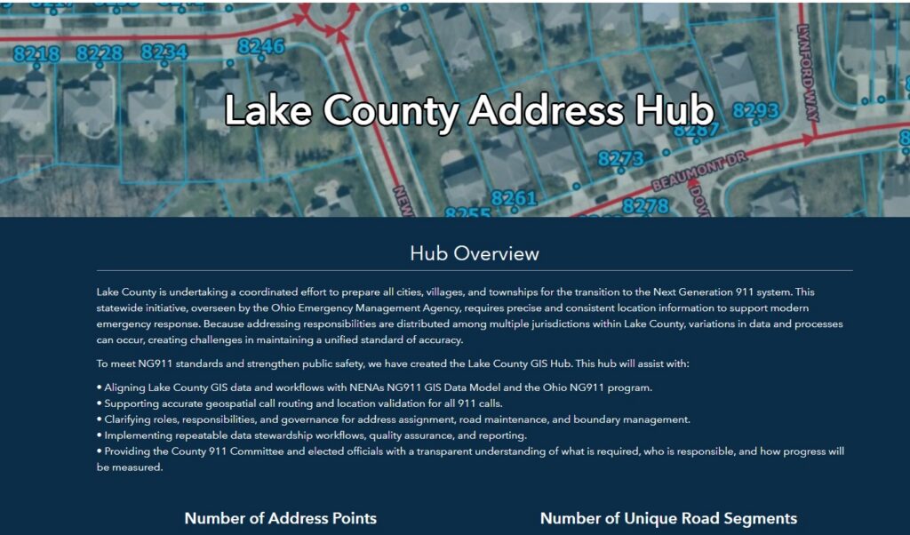
The Lake County Address Hub is a resource for connecting residents, address authorities and emergency services to accurate, official address data, mapping applications, and address assignment processes across Lake County, Ohio.
Next Generation 9-1-1 Program
GIS is the foundation of Next Generation 911 (NG911) because they replace outdated text-based routing with precise, real-time spatial call routing. In legacy systems, 911 calls rely on tabular databases, but NG911 uses live geospatial data to instantly match a caller’s exact coordinates to the correct emergency service boundary. This shift dramatically slashes response times, minimizes misrouted calls, and saves lives.
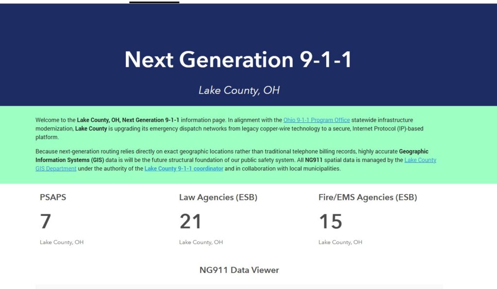
The GIS Dept supports Lake County’s Next Generation 9-1-1 program with the State of Ohio.